The Orchard by the Glashaboy River
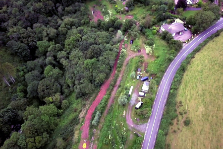
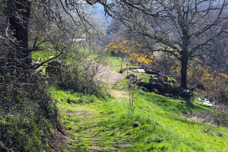
Our land is mainly sloped and is bounded by the Glashaboy River to the West and the R616 to the East. The river has a weir across it and care should be taken particularly in this vicinity. A cliff overhangs the river. The height varies - it is about 10 meters at its highest point.
A flat leveled area located to the right of the gate as you enter, serves as a car park. It is covered with a hard core of red sandstone on which ordinary vehicle can drive easily. It can get somewhat muddy at times and wearing boots or Wellingtons might be advisable.
Track-ways can get somewhat muddy at times and you should be aware of slippery areas and uneven ground.
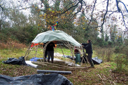
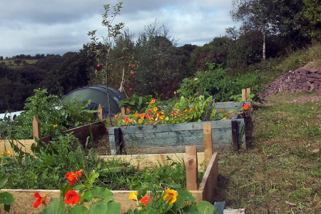
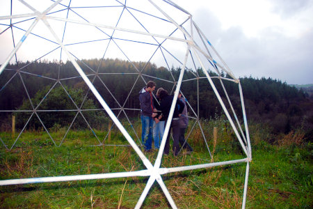
Geodesic Dome and now a new compost toilet funded by SECAD...
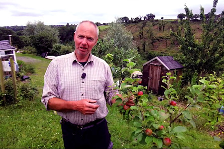
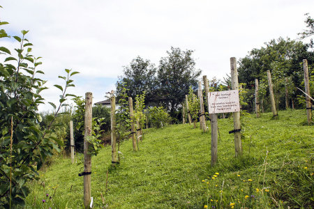
Apart from the existing mature trees and woodland on site, there are about 120 fruit and nut trees of various types, many of Irish heritage varieties of Apple, the land also has fungi of various types, usually in the Autumn. Please be aware that not all of them are edible.
As part of our Apiary Project, we now have 5 beehives.
